File:World map with nations.svg
Jump to navigation
Jump to search

Size of this PNG preview of this SVG file: 800 × 400 pixels. Other resolutions: 320 × 160 pixels | 640 × 320 pixels | 1,024 × 512 pixels | 1,280 × 640 pixels | 2,560 × 1,280 pixels.
Original file (SVG file, nominally 1,024 × 512 pixels, file size: 586 KB)
Captions
Captions
Add a one-line explanation of what this file represents
Summary[edit]
| Description |
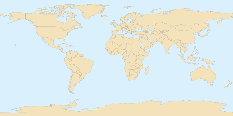
English: Blank political world map for location map templates (en:Equirectangular projection).
Français : Une carte politique du monde (en projection équirectangulaire) avec les nations pour la géolocalisation. |
| Date | |
| Source | Own work |
| Author | STyx |
| Other versions |
Derivative works of this file: Europe location map.svg This file is deprecated. Use Image:World location map.svg See also Image:A large blank world map with oceans marked in blue.svg and Image:World map nations.svg. |
This W3C-unspecified vector image was created with Inkscape .
Licensing[edit]
| This work has been released into the public domain by its author, I, STyx. This applies worldwide. In some countries this may not be legally possible; if so: I, STyx grants anyone the right to use this work for any purpose, without any conditions, unless such conditions are required by law. |
File history
Click on a date/time to view the file as it appeared at that time.
| Date/Time | Thumbnail | Dimensions | User | Comment | |
|---|---|---|---|---|---|
| current | 18:11, 27 July 2007 | | 1,024 × 512 (586 KB) | STyx (talk | contribs) | {{created with Inkscape}} {{Information |Description={{en}}Blanck world map for geolocation ; null projection (bilinear projection). {{fr}}Une carte vierge du monde avec les nations pour la géolocalisation (image utilisée p |
You cannot overwrite this file.
File usage on Commons
The following 3 pages use this file:
File usage on other wikis
The following other wikis use this file:
- Usage on als.wikipedia.org
- Usage on azb.wikipedia.org
- Usage on da.wikipedia.org
- Usage on dsb.wikipedia.org
- Usage on en.wikipedia.org
- Usage on eo.wikipedia.org
- Usage on fa.wikipedia.org
- Usage on fr.wikipedia.org
- Usage on hsb.wikipedia.org
- Usage on hu.wikipedia.org
- Usage on is.wikipedia.org
- Usage on ja.wikipedia.org
- Usage on ka.wikipedia.org
- Usage on ko.wikipedia.org
- Usage on nds-nl.wikipedia.org
- Usage on nn.wikipedia.org
- Usage on nv.wikipedia.org
- Usage on ps.wikipedia.org
- Usage on ru.wikipedia.org
- Usage on sq.wikipedia.org
- Usage on sr.wikipedia.org
- Usage on sv.wikipedia.org
- Usage on xmf.wikipedia.org
- Usage on zh.wikipedia.org