Akureyrarvöllur
Akureyrarvöllur is a stadium in Akureyri, Northeast. Akureyrarvöllur is situated nearby to the town hall Ráðhús Akureyrar and the government office Velferðarsvið Akureyrarbæjar.Notable Places in the Area
Akureyrarkirkja
Church

Photo: Jon Gretarsson, CC BY-SA 3.0.
Akureyrarkirkja or The Church of Akureyri is a prominent Lutheran church at Akureyri in northern Iceland. Akureyrarkirkja is situated 700 metres south of Akureyrarvöllur.
Akureyri Art Museum
Art gallery
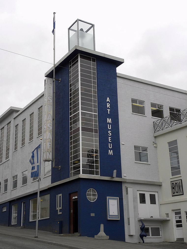
Photo: JasonParis, CC BY 2.0.
The Akureyri Art Museum was founded in 1993. The museum is located in the center of Akureyri, the second-largest city in Iceland. Akureyri Art Museum is situated 620 metres south of Akureyrarvöllur.
Akureyri Botanical Garden
Garden

Photo: RenJJ, CC BY-SA 4.0.
The Akureyri Botanical Garden is located on the west side of the inland end of the fjord Eyjafjörður at about 45 metres elevation. Akureyri Botanical Garden is situated 1¼ km south of Akureyrarvöllur.
Localities in the Area
Svalbarðseyri
Village

Photo: Navaro, CC BY-SA 3.0.
Svalbarðseyri is a small village in the Svalbarðsstrandarhreppur municipality, northern Iceland, which in January 2011 had 245 inhabitants. Svalbarðseyri is situated 7 km north of Akureyrarvöllur.
Akureyrarvöllur
- Type: Stadium
- Categories: recreation area, tourist attraction and tourism
- Location: Akureyri, Northeast, North Iceland, Iceland, Nordic countries, Europe
- View on OpenStreetMap
Latitude
65.68587° or 65° 41' 9" northLongitude
-18.09519° or 18° 5' 43" westOpen Location Code
9CQ3MWP3+8WOpenStreetMap ID
way 424075090OpenStreetMap Feature
leisure=stadiumAkureyrarvöllur Satellite Map
© OpenStreetMap, Mapbox and Maxar
Landmarks in the Area
- Ráðhús AkureyrarTown hall, 190 metres southeast
- Lögreglustöðin á AkureyriPolice station, 200 metres west
- Fangelsið AkureyriPrison, 200 metres west
- Velferðarsvið AkureyrarbæjarGovernment office, 200 metres north
- EiðsvöllurPark, 220 metres east
Places in the Area
- GreifinnRestaurant, 140 metres north
- Helgi magri og Þórunn hyrnaMonument, 160 metres northwest
- Akurinn GuesthouseGuest house, 160 metres south
- VÍS170 metres north
- VínbúðinLiquor store, 180 metres southeast
Popular Destinations in North Iceland
Discover Húsavík, Mývatn, Fossholl and Siglufjörður.
Escape to a Random Place
Discover other stadiums in the world.
About Mapcarta. Thanks to Mapbox for providing amazing maps. Data © OpenStreetMap contributors and available under the Open Database License. Text is available under the CC BY-SA 4.0 license, excluding photos, directions and the map. Photo: Wikimedia, CC BY-SA 3.0.