Keflavíkurvöllur
Keflavíkurvöllur is a stadium in Reykjanesbær, Southern Peninsula. Keflavíkurvöllur is situated nearby to the sports venue Vatnaveröld and the hospital Heilsugæsla Suðurnesja.Notable Places in the Area
Keflavík International Airport
 Keflavík International Airport is in Keflavík and serves as the main international airport of Reykjavík and Iceland.
Vatnsnes Lighthouse
Lighthouse
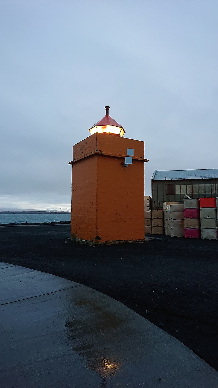
Photo: Braveheart, CC BY-SA 4.0.
Vatnsnes Lighthouse is situated 1 km northeast of Keflavíkurvöllur.
Icelandic Museum of Rock 'n' Roll
Museum
The Icelandic Museum of Rock 'n' Roll is located at the Hljómahöll concert and conference hall in Reykjanesbær. Icelandic Museum of Rock 'n' Roll is situated 1 km southeast of Keflavíkurvöllur.
Localities in the Area
Keflavík
Keflavík is a town in Southwest Iceland that is home to the country's international airport.
Reykjanesbaer
Town

Photo: Steinninn, CC BY-SA 4.0.
Reykjanesbær is a municipality on the Southern Peninsula in Iceland, though the name is also used by locals to refer to the suburban region of Keflavík and Njarðvík which have grown together over the years.
Njardvik
Town

Photo: Steinninn, CC BY-SA 4.0.
Njarðvík is a town in southwestern Iceland, on the peninsula of Reykjanes. Njardvik is situated 3 km south of Keflavíkurvöllur.
Keflavíkurvöllur
- Type: Stadium
- Categories: recreation area, tourist attraction and tourism
- Location: Reykjanesbær, Southern Peninsula, Iceland, Nordic countries, Europe
- View on OpenStreetMap
Latitude
63.99795° or 63° 59' 53" northLongitude
-22.55857° or 22° 33' 31" westOpen Location Code
99MVXCXR+5HOpenStreetMap ID
way 976636798OpenStreetMap Feature
leisure=stadiumKeflavíkurvöllur Satellite Map
© OpenStreetMap, Mapbox and Maxar
Landmarks in the Area
- VatnaveröldSports venue, 120 metres northwest
- Heilsugæsla SuðurnesjaHospital, 390 metres northeast
- ReykjaneshöllinSports venue, 440 metres south
- Public ParkPark, 440 metres north
- RáðhúsTown hall, 530 metres north
Places in the Area
- VatnaveröldBuilding, 130 metres northwest
- Ólafur ThorsWork of art, 140 metres northeast
- HoltaskóliSchool, 180 metres west
- FuglahúsiðWork of art, 210 metres southwest
- Fjölbrautaskóli Suðurnesja / FSBus stop, 260 metres southwest
Popular Destinations in Iceland
Discover Reykjavík, Akureyri, Hafnarfjörður and Kópavogur.
Escape to a Random Place
Discover other stadiums in the world.
About Mapcarta. Thanks to Mapbox for providing amazing maps. Data © OpenStreetMap contributors and available under the Open Database License. Text is available under the CC BY-SA 4.0 license, excluding photos, directions and the map. Photo: Simisa, CC BY-SA 3.0.